April begins with rain and mountain snow, but sunnier days are ahead after weekend
The latest weather system in Western Washington was off to a rainy start Saturday, with more sunshine ahead before the next system rolls in after Wednesday.
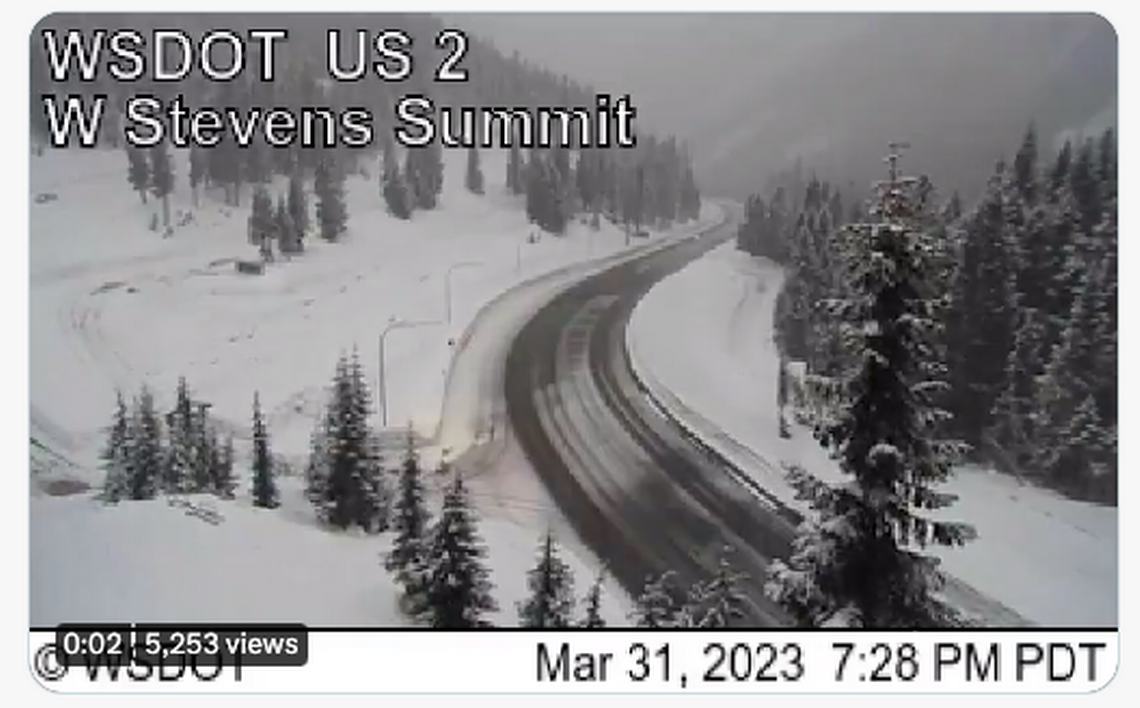
Moderate to heavy snow was in the forecast for the Cascades and Olympics, expected to linger into Saturday night, according to the National Weather Service’s Seattle office.
And, if you are blue about all the gray days and rain, consider that the January-March rainfall for the Seattle area has totaled 7.66 inches, compared with a normal 13.71 inches for the same period, according to NWS.
Conversely, Los Angeles’ January-March total has seen 18.66 inches, as opposed to its normal 7.58 inches.
Current Jan. thru March rainfall for Seattle, Los Angeles & San Diego.
Seattle 7.66" (norm 13.71")
L. A. 18.66" (norm 7.58")
S. D. 10.89" (norm 5.64")
In the last 79 years Jan thru Mar LA has had more rain then Seattle 15 years, SD 7 years. The 11" difference is a record. #wawx— NWS Seattle (@NWSSeattle) April 1, 2023
The Spokane National Weather Service bureau on Friday evening reported increasing snow in the Cascades, and said motorists “should expect winter driving conditions for the remainder of the night and periodically through the weekend.”
It added that “This late in the season, driving conditions are frequently the most treacherous at night.”
Snow has increased in the Cascades this evening. Motorists should expect winter driving conditions for the remainder of the night and periodically through the weekend. This late in the season, driving conditions are frequently the most treacherous at night. #WAWX pic.twitter.com/6Wrrkl5yZr
— NWS Spokane (@NWSSpokane) April 1, 2023
The North Sound was expected to see more widespread downpours Saturday, as the South Sound was forecast for scattered showers and isolated thunderstorms, with highs in the upper 40s.
Continuing scattered showers are forecast for Sunday, tapering off into the afternoon. Monday through Wednesday is expected to see a mix of sun and clouds, with highs in the lower- to mid-50s. Rain returns to the forecast on Thursday.
