Addressing climate change's impact using "community science"
Think globally, act locally. The motto means that our small acts to enhance our local community or city could add up, leading to improvements in conditions in our state, nation and even the world.
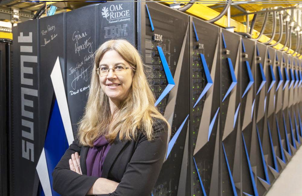
Melissa Allen-Dumas, a researcher in the Computational Urban Sciences Group at Oak Ridge National Laboratory, told the League of Women Voters of Oak Ridge that she and her colleagues focus on connections between global climate change and extreme weather events and ways these events can impact the environment and people in regions and local communities.
They also examine and influence local responses of city governments and citizens (including Knoxville) to climate-related events, such as the increased frequency and duration of heat waves and flooding. She said the ORNL researchers collaborate with communities on finding adaptation and mitigation options and other climate solutions for the local population. She calls it community science.
Relying on sensors, cameras and other tools, they collect data ranging from measurements on the ground to satellite images. They feed the information to ORNL supercomputers, among the most powerful in the world, that run models that predict global, regional and local climate conditions. The predictions are based on various scenarios including different levels of climate-warming greenhouse gas emissions, for example, from the burning of fossil fuels and forests.
Carbon dioxide and other greenhouse gas emissions have continued to rise, and the last few months of this year have been the hottest on record.
“When the atmosphere becomes warmer because of climate change, the air holds more moisture,” Allen-Dumas said. This effect can bring on a drought “when it doesn’t rain for a while and then after that, a huge rainfall incident can occur.” She cited the recent huge amount of rainfall that fell in a short time in New York City, flooding its subways, preventing people from getting to work and requiring considerable cleanup.
She added that hot and dry conditions have led to destructive, air-polluting wildfires in Canada and the U.S. West. Other consequences of climate change, she noted, are warmer ocean water, spawning more intense hurricanes. Combined with rising sea levels as glaciers melt, these extreme storms pound inhabited coastal regions with heavy precipitation and high-tide flooding.
Allen-Dumas and other ORNL researchers recently worked with city of Knoxville officials to identify strategies they could use for adapting to extreme weather events that are expected to increase in number because of climate change.
She noted that the researchers fed data they collected in Knoxville into ORNL computer models. The data included measurements of land cover, tree canopy, amount of sunshine reaching given areas and elevation. In addition to computer projections of population growth and of a rise in future precipitation and peak temperatures, they obtained measurements of the extent of Knoxville’s paved areas that prevent rain and floodwater from seeping into the ground.
Allen-Dumas said the ORNL team showed city officials that computer simulations of the regional climate indicated that the city would be affected the most by an increasing number of days of higher temperatures and extreme flooding.
Using an urban climate adaptation tool, the ORNL researchers recommended a “green infrastructure” to reduce runoff of rainwater that can flood the streets and people’s homes. The city government followed the suggestion to turn some abandoned parking lots into green spaces where vegetation and vegetables are being grown.
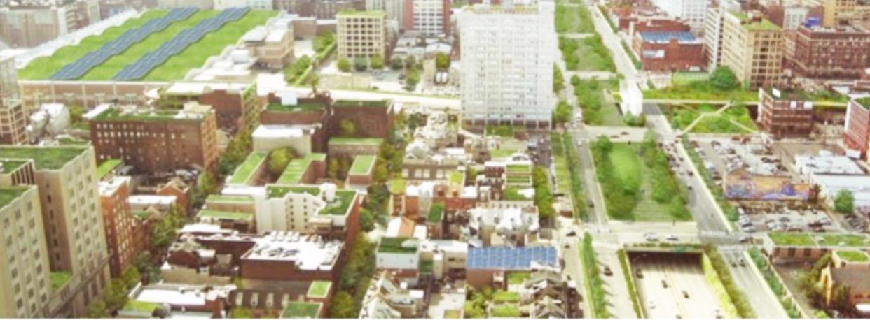
But the suggestion to push installation of “green roofs” on buildings was not adopted. A green roof is mostly covered with soil and vegetation planted over a waterproofing membrane. Compared with a conventional roof, a green roof can significantly reduce the stormwater runoff rate, make roof surfaces cooler and cut the amount of heat entering the building from the roof. Such roofs also attract to the area more wildlife, such as birds and bees.
However, she said, the city of Knoxville has followed the ORNL suggestion to install porous materials, or semi-permeable pavers, in new sidewalks and parking lots instead of concrete slabs, allowing more rainwater to penetrate artificial surfaces to the ground below.
She noted that someone in Knoxville came up with the idea to plant “extra thirsty” trees, like silver birch, to help soak up floodwater. The challenge, she added, is to select tree species that not only take up more water but also are hardy enough to endure the effects on Knoxville of future climate change.
The ORNL group has made a “digital twin” of traffic flow on highways in Chattanooga. The virtual computer model uses real-time data sent from radar detection sensors and from fisheye cameras at intersections to simulate and monitor the flow of traffic. The researchers can determine where different models of moving cars and trucks are and where and when there are traffic accidents with or without injuries. They will follow changes in traffic patterns as electric vehicle penetration increases.
In 2016 Chicago planned to add a new neighborhood on the edge of the Chicago Loop. ORNL researchers were asked to use their computer models and other tools to determine which type of neighborhood would exhibit a better building energy performance, or energy use intensity (amount of energy used per square foot annually). The choice was between a mixed-use development (mixture of residential and commercial buildings) or tall high-density apartment buildings.
Allen-Dumas’s team generated building geometry inputs for a computer weather model that produced data on temperature, wind and solar radiation changes in the Chicago Loop affected by different building configurations. Then this result and other information were used by a building energy model to calculate differences in building energy performance of mixed-use and high-density neighborhoods.
Compared with older neighborhoods in the Chicago Loop, she found that the total building energy use would increase by 16% for a mixed-use neighborhood and by 22% for a high-density neighborhood owing to the greater total of heated and cooled floor areas. The high-density development would also emit more carbon dioxide.
“But,” she said, “the high-density morphology constitutes the better urban planning alternative for the Loop in terms of energy use intensity for both electricity and gas consumption.” Using weather data, she added, the group also “found that the neighborhood where the buildings were most spread out had the best cooling effect in Chicago.”
Allen-Dumas expressed enthusiasm for student involvement in using models and other data analysis tools to collect and make sense out of climate-related data.
“We started a data challenge at ORNL in which we gave citizens an opportunity to use ORNL building and energy usage data with analysis tools of their choice,” she said. “A high school girl in Knoxville used our data on Las Vegas to take on the data challenge.
“She collected additional data on air temperature, surface temperature and social vulnerability,” Allen-Dumas added. Social vulnerability is defined as the susceptibility of certain social groups to the adverse impacts of natural hazards such as environmental degradation and extreme weather events. Such impacts include disproportionate rates of death, injury, loss or disruption of livelihood.
“The girl found that some of the most vulnerable populations were actually in the hottest part of the city of Las Vegas,” the ORNL researcher said. “I think partly that’s because this group lives in the oldest, most affordable buildings.” Extreme heat is the leading cause of weather-related deaths in the United States.
UrbanHeatATL is a project involving university students who have been mapping Atlanta’s urban heat island. Allen-Dumas said that students in Atlanta have been collecting temperature data with sensors they carry during walks, bike rides and auto commutes.
“They submit data with their smartphones and learn the results from weekly updates as they network with their team,” she added. “They learned that even a small stand of urban trees is 7°F cooler than is the surrounding pavement.”
Allen-Dumas concluded, “I think the solutions to the climate change problem are going to start with neighborhoods and cities and the people who live in them.”
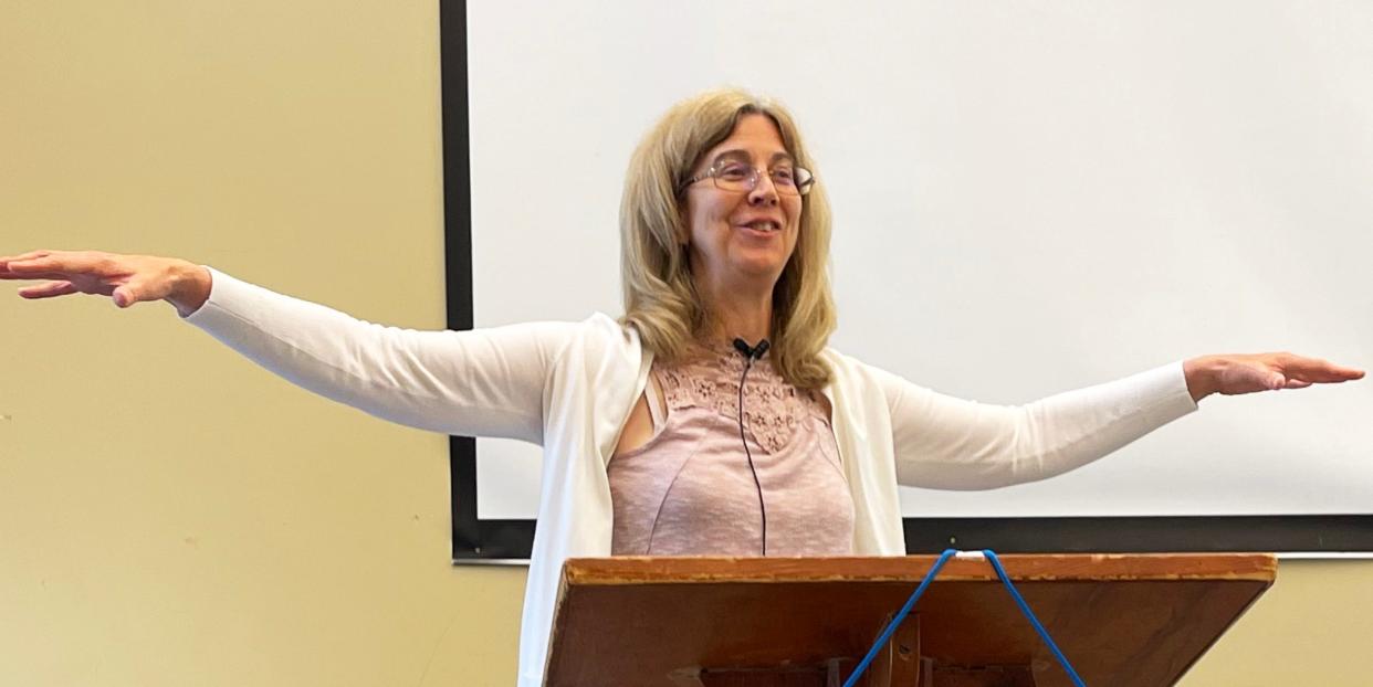
Melissa Allen-Dumas speaks on climate change effects on people to the League of Women Voters of Oak Ridge. Photo by Carolyn Krause
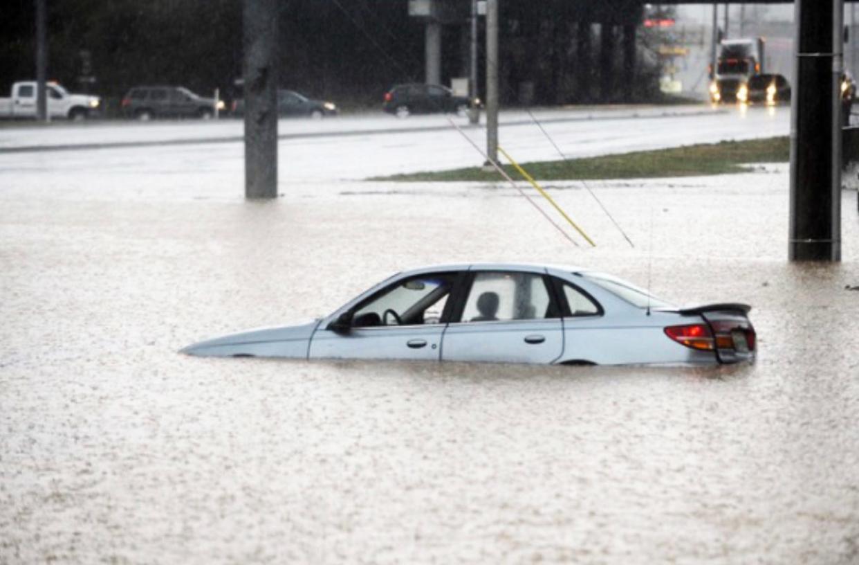
Flooding in Knoxville. Submitted by Melissa Allen-Dumas
To reduce runoff of rain that leads to flooding in cities, an urban climate adaptation tool (Omitaomu, Parish, et al., 2016) shows the effectiveness of a “green infrastructure,” which incorporates porous pavements, green roofs, retention basins and “extra thirsty” trees. Submitted by Melissa Allen-Dumas
This article originally appeared on Oakridger: Addressing climate change's impact using "community science"
