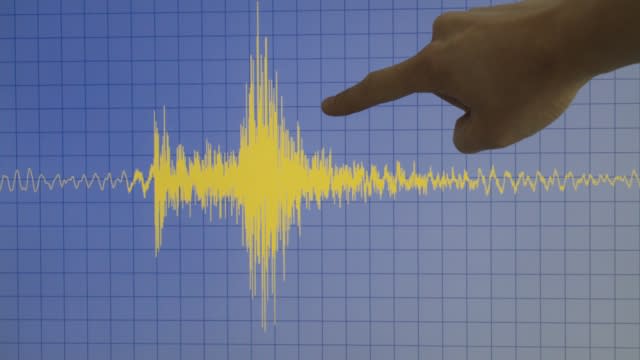
75% of US at risk for damaging earthquake, new data shows
New maps released by the U.S. Geological Survey show that a majority of the U.S. population lives in an area at risk for a damaging earthquake.
According to the USGS, 75% of the U.S. population lives in a locale that could be subject to "potentially damaging earthquakes and intense ground shaking."
According to the report, 37 U.S. states have experienced earthquakes exceeding magnitude 5 on the Richter scale during the last 200 years.
While the U.S. West Coast was at greatest risk, parts of the Midwest and Northeast also faced significant risks from earthquakes.
"Earthquakes are difficult to forecast but we’ve made great strides with this new model," said Mark Petersen, USGS geophysicist and lead author of the study. "The update includes more faults, better-characterized land surfaces, and computational advancements in modeling that provide the most detailed view ever of the earthquake risks we face."

SEE MORE: Woman in her 90s found alive in rubble 5 days after Japan earthquake
Unlike hurricanes and severe weather, predicting the time or location of earthquakes is impossible. What scientists have been able to do is figure out a location’s probability of having a major earthquake over the course of decades or even centuries.
The new model shows places such as Philadelphia, New York City, and Washington, D.C., face significant earthquake risks. Scientists say that the new risk map should help inform the future of building and structural design. “This was a massive, multi-year collaborative effort between federal, state and local governments and the private sector,” said Petersen. “The new seismic hazard model represents a touchstone achievement for enhancing public safety.”
